USEFUL INFORMATION ABOUT ALL CITIES, VILLAGES AND RESORTS IN BULGARIA
Settlement:
Town/Village:
Village of Zafirovo
See it on the map Bulgarian properties in Silistra Region - Zafirovo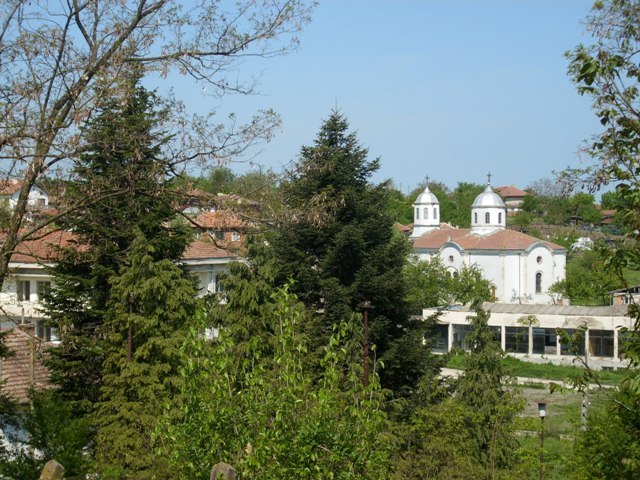
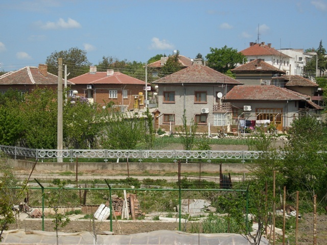
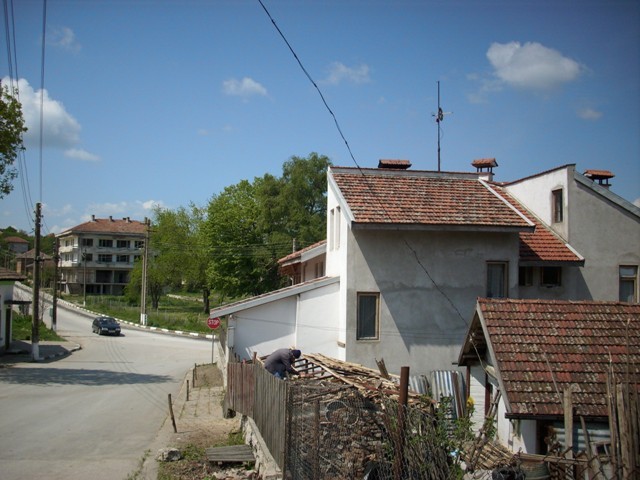
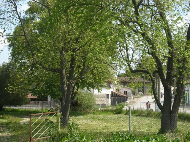
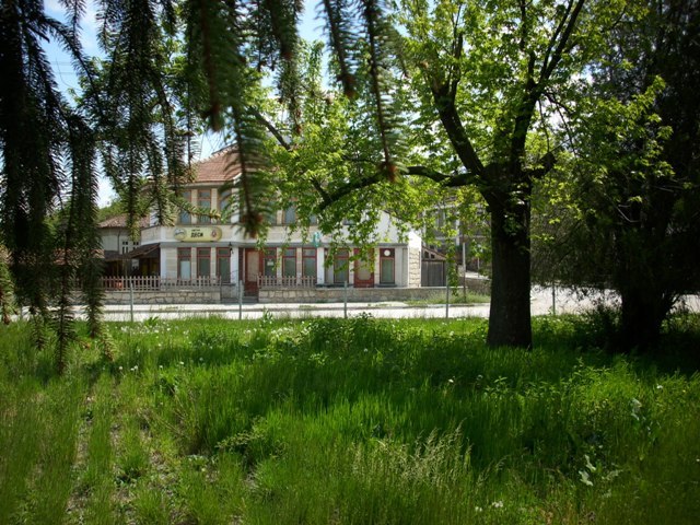
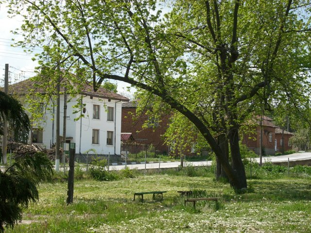
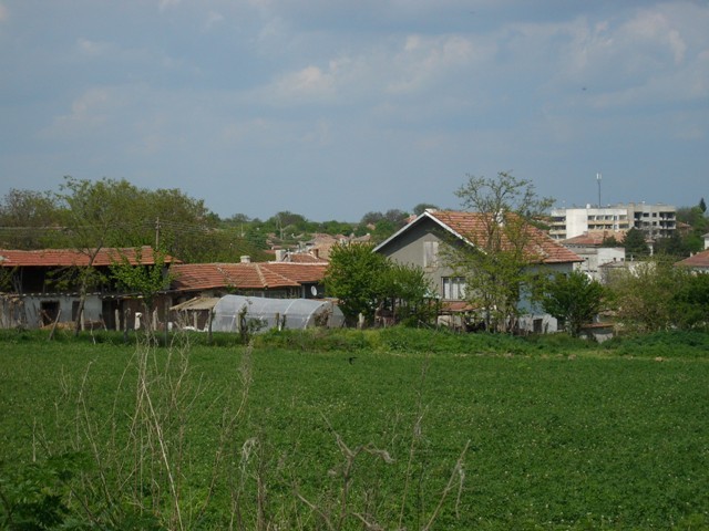
Zafirovo is a village situated in North-eastern Bulgaria. It is part of Glavinitsa Municipality, Silistra region.
It is located 40 km south-west from town of Silistra, 12 km north from town of Glavinitsa, 80 km east from town of Ruse and 23 km south-east from town of Tutrakan.
Its population is approximately 960 people.
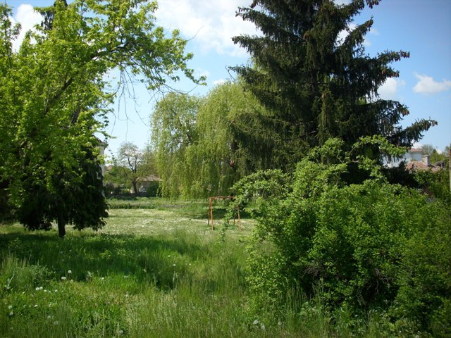
Zafirovo is set in the Eastern part of the Danube plain, on 89 m above the sea level. The relief characterizes with hilly and plain lands. The village is with humid continental climate - hot summer (temperatures reaching 35 C) and cold winter (temperatures reaching -15 C).
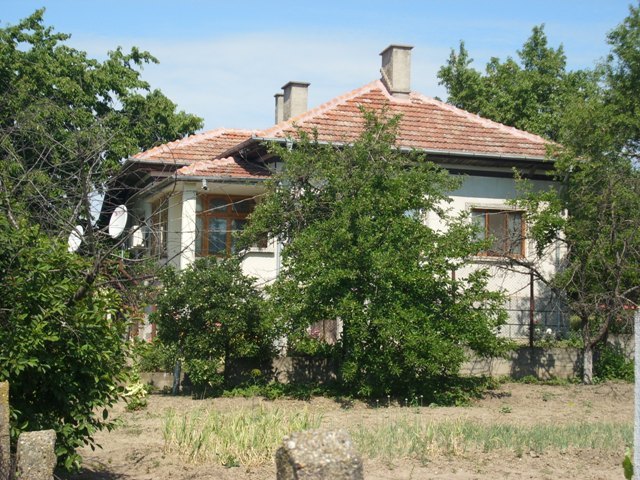
Zafirovo is well-developed village with electricity, water and telephone net provided. The main road Silistra-Ruse passes from here. Danube River is just 20 km away in northern direction.
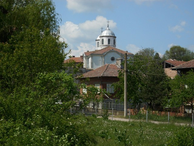
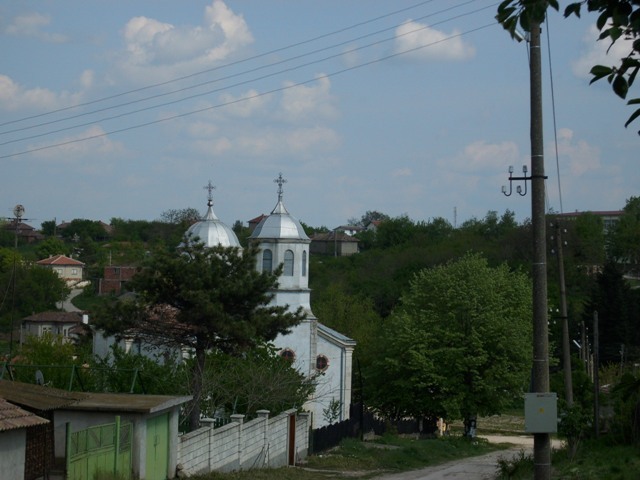
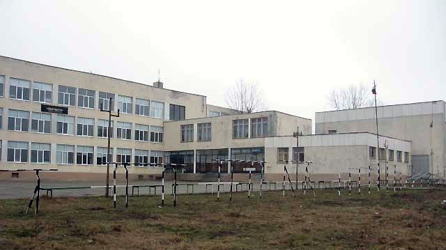
There is a town-hall, a post office, a church, health services, a school, a kindergarten, a community centre and shops. Town of Glavinitsa (12 km away) comprises a polyclinic and emergency medical centre.
Sport base is available in the village. It comprises playgrounds for football, volleyball, basketball and track-and-field athletics.
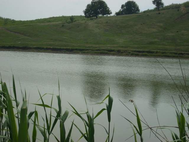
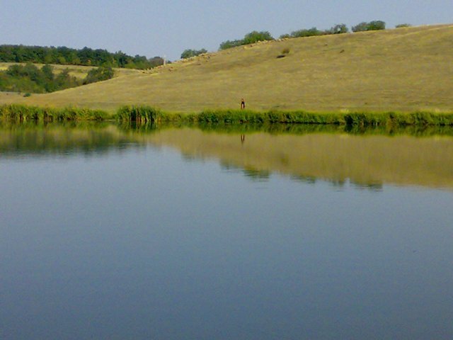
Agriculture is traditional means of living here in the region. Plants such as wheat, sun-flower, corn, etc are grown in the area. The stock-breeding is specialized in raising poultry, sheep, pig and goat. There is agricultural cooperation and a bakery. Zafirovo Dam is located near the village. Its purpose is to fish-breed.
Landmarks
Zafirovo comprises a historical museum that was built in 1987 on the community management initiative. It is a one-storey building in Roman style. The historical museum systematizes the information about the most important historical objects and events in the region.
'Malak Preslavets' marsh is a protected territory announced as a natural landmark in 1986. It is located about 4 km away from village of Malak Preslavets and 20 km in western direction from Srebarna reserve. Its square surface is 38.5 hectares. Its structure resembles the structure of Srebarna Lake. There are various flora and fauna species around the marsh.
Internet sources: http://www.glavinitsa.bg/
Pictures: www.panoramio.com
